Then a shortcut through Owen Springs to the Stuart Highway headed South.
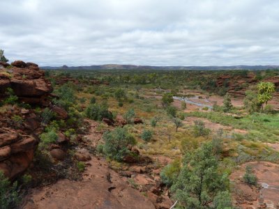
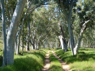
The track into Palm Valley follows the river.
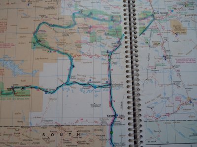
The Finke is reputedly the World's oldest river. On its North South journey its cut gorges through lots of East West ranges.
Interesting bit is its probably older than the ranges.
It ends in Lake Eyre (don't all rivers in the centre?). We've crossed it a few times on our journey.
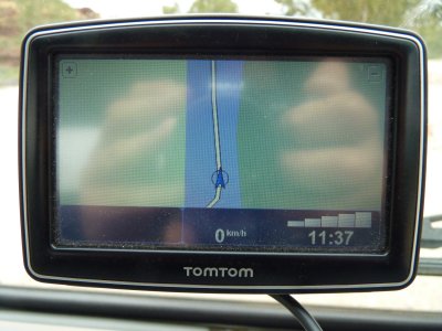
Not surprised it knew about the water, just the way it draws the track through the middle is a bit quaint.
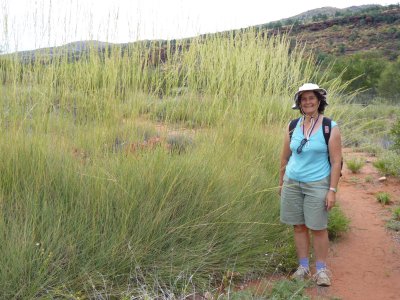
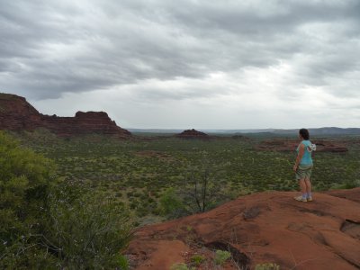
Just spinifex that's grown a bit tall with all the rain.
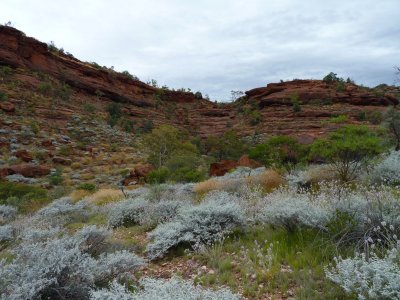
The grey/green plants in the foreground were mostly in seed but there were occasional pink flowers. We wondered what it would be like when they are really in flower.
Its not often we both say "wow".
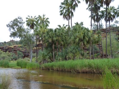
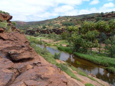
The palms are a leftover from when the area was covered with rainforest.
Just that micro-climate formed by the combination of creek that doesn't flood much, a water table high enough so there's always water, and shelter from wind.
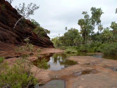
The Mpulungkinya Walk follows the valley formed by Palm Creek.
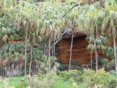
Cycads, as we've seen elsewhere, grow a bit higher - on the sides of the gorge.
The walk is leaving the valley to return via the plateau.
Nearly back at Tardis.
Mostly sandstone underneath, just lots of holes in it and the occasional rock.
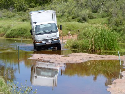
There's a good view of all the rocks and holes from the cab..
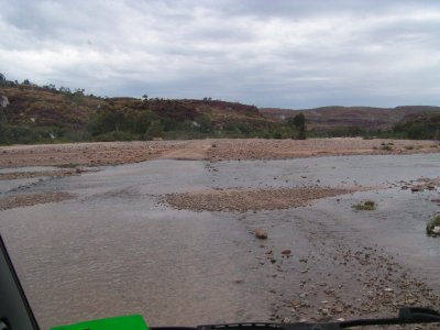
The water was clear with a little flow.
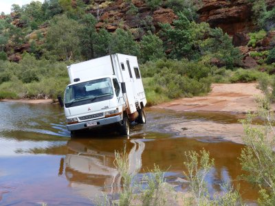
The wheels get to be at interesting angles.
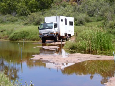
Its a relatively easy track, well travelled, that just needs a bit of patience. The 4wd tour operators seem to travel a bit faster than us.
Chassis is slightly twisted so body has gone one way and cab the other.
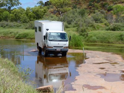
Cab and body at very different angles.
Don't panic. Its supposed to do that.
Some vehicles have a rigid chassis with soft suspension. The Canter has a flexible chassis with hard suspension.
The 4km from end of the track back to the camp site took almost an hour. Quicker to walk!
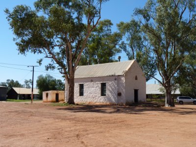
This is the old Lutheran Church.
We missed out on the Art Gallery (some Albert Namatjira paintings).
The water fell almost as we watched over a couple of days.
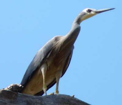
It studiously ignored us.
Snow gums we believe. There were river red gums closer to the river.
The track was a bit rougher at the Southern end of the gorge with a diversion around some flood damage.
We watched it for a long time.
We suspect its way out of its normal territory but are not sufficiently expert ornithologists.
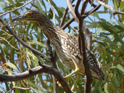
We have some interesting discussions which the bird book helps arbitrate. This took a while to identify.
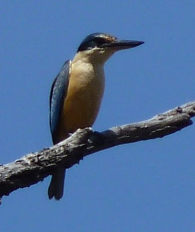
We didn't see any of the Rainbow Bee Eaters which are reputed to be there.
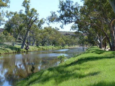
The Hugh River is where the creek we camped on at Birthday Waterhole (a couple of weeks ago) flows into.
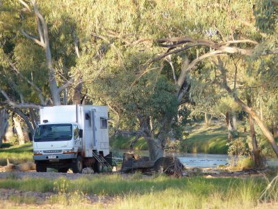
Pleased with how Tardis went over the sand.
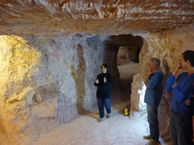
Ali is holding divining rods, looking for a reaction across a fault.
I guess one has to "believe". I was never going to succeed.
The tunnel has been dug by machine.
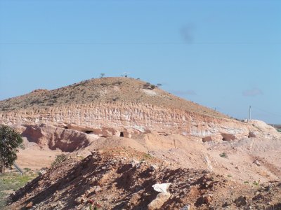
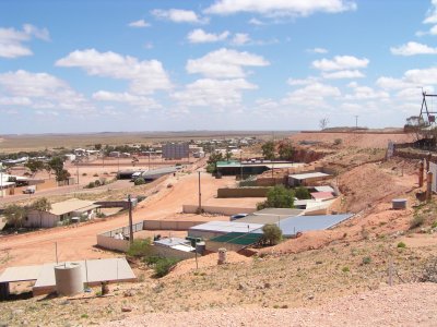
The hills look like the Jump Ups we saw near Tibooburra. Locally referred to as Breakaways.
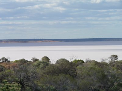
The Ghan and a couple of freight trains passed us here. We were too slow for a photo. The rail line is along this side of the lake.
Reminiscent of Lake Eyre.
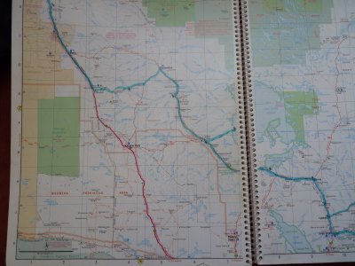
We need a rest after all the driving. We can average 100km per day reasonably well. More than 1500 km in a week is a bit of a challenge.
A bit of rain had closed most of the South Australia tracks.